Mitigation Projects

Deer Creek Mitigation Bank
- IN ENTITLEMENT, CALL FOR AVAILABILITY -
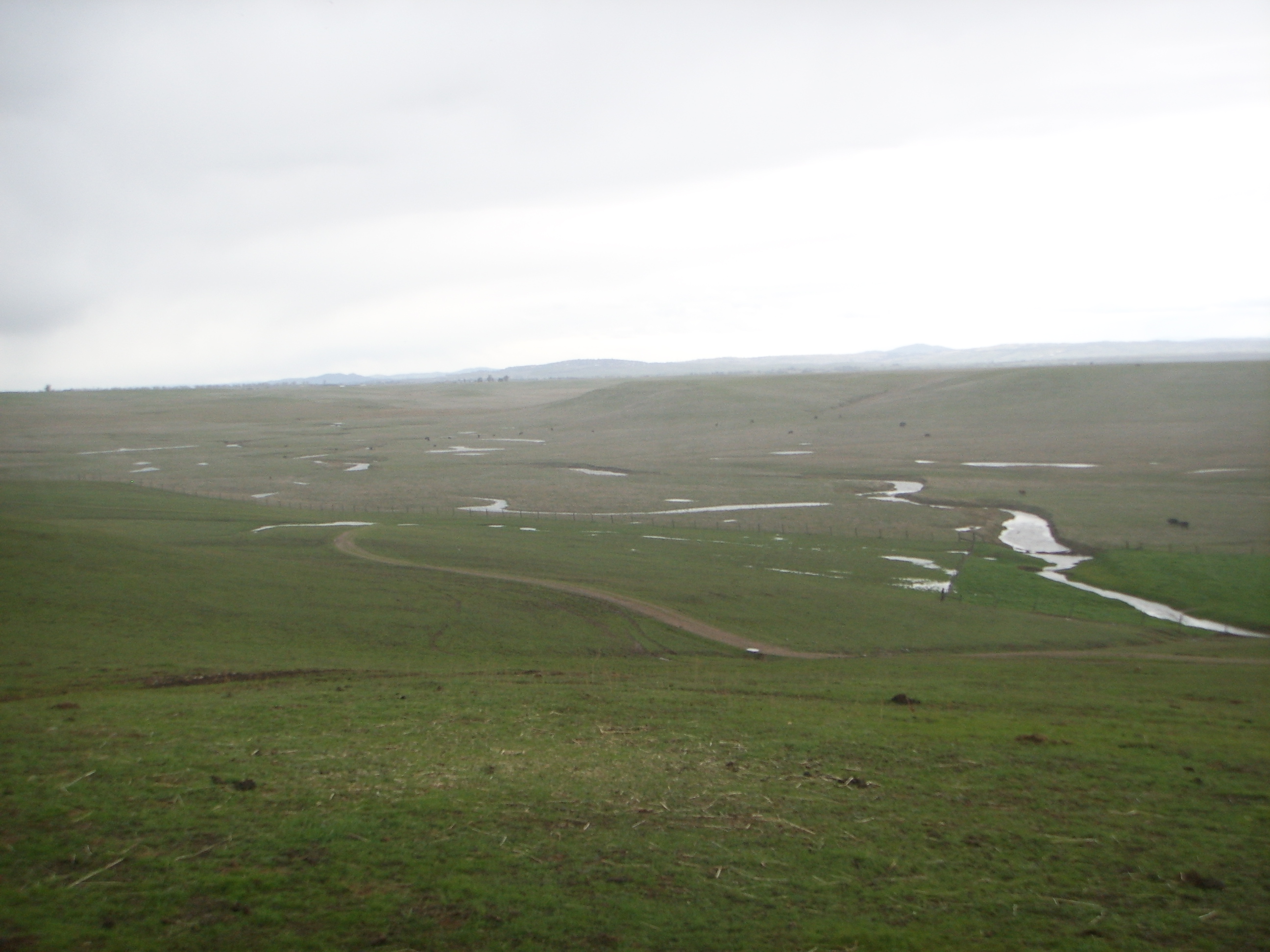
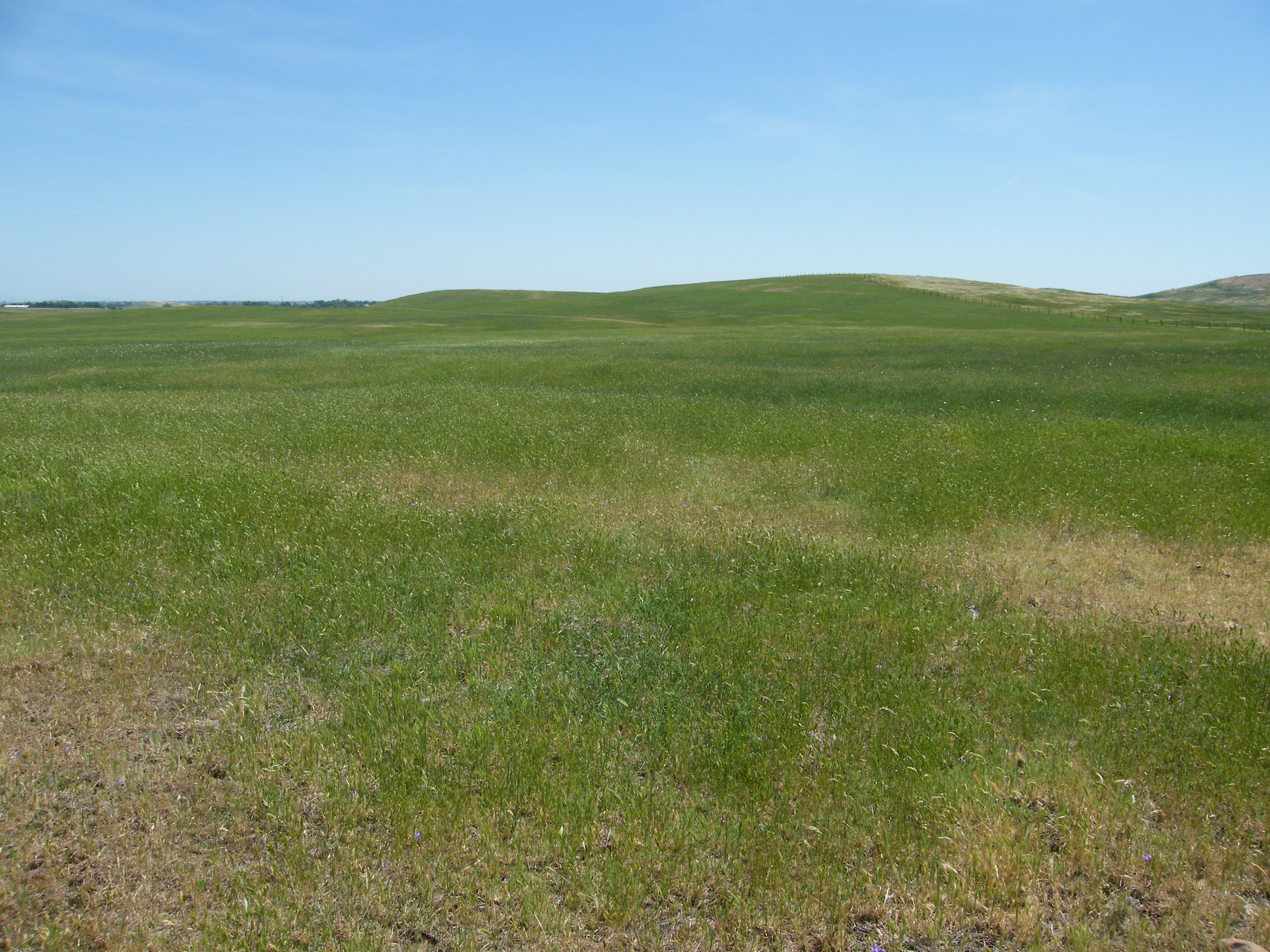
The proposed Deer Creek Mitigation Bank is located on approximately 175.015 acres in southeastern Sacramento County, California. The Bank proposes the re-establishment of a vernal pool landscape, which includes the construction of approximately 9 acres of vernal pools and swales, 1.56 acres of seasonal wetland swales, and rehabilitation of 1.44 acres of ephemeral drainage. The vernal pools would provide suitable habitat for federally listed vernal pool crustaceans including vernal pool fairy shrimp (Branchinecta lynchi) and vernal pool tadpole shrimp (Lepidurus packardi), which are documented to occur just north of the Bank on the Kiefer Landfill Preserve.
The Bank Enabling Instrument is currently under review by the Sacramento District of the U.S. Army Corps of Engineers (“USACE”) and Region IX of the U.S. Environmental Protection Agency (“USEPA”), also referred to as the Interagency Review Team (“IRT”).
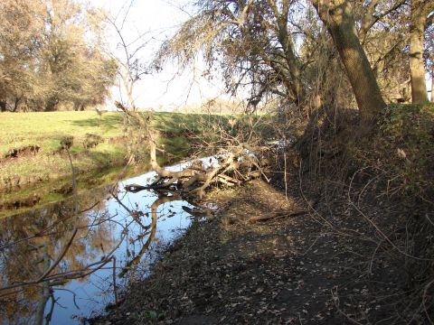
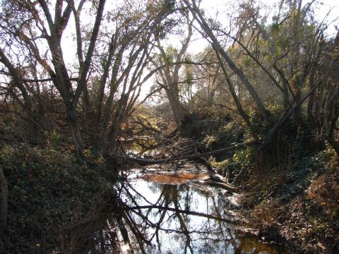
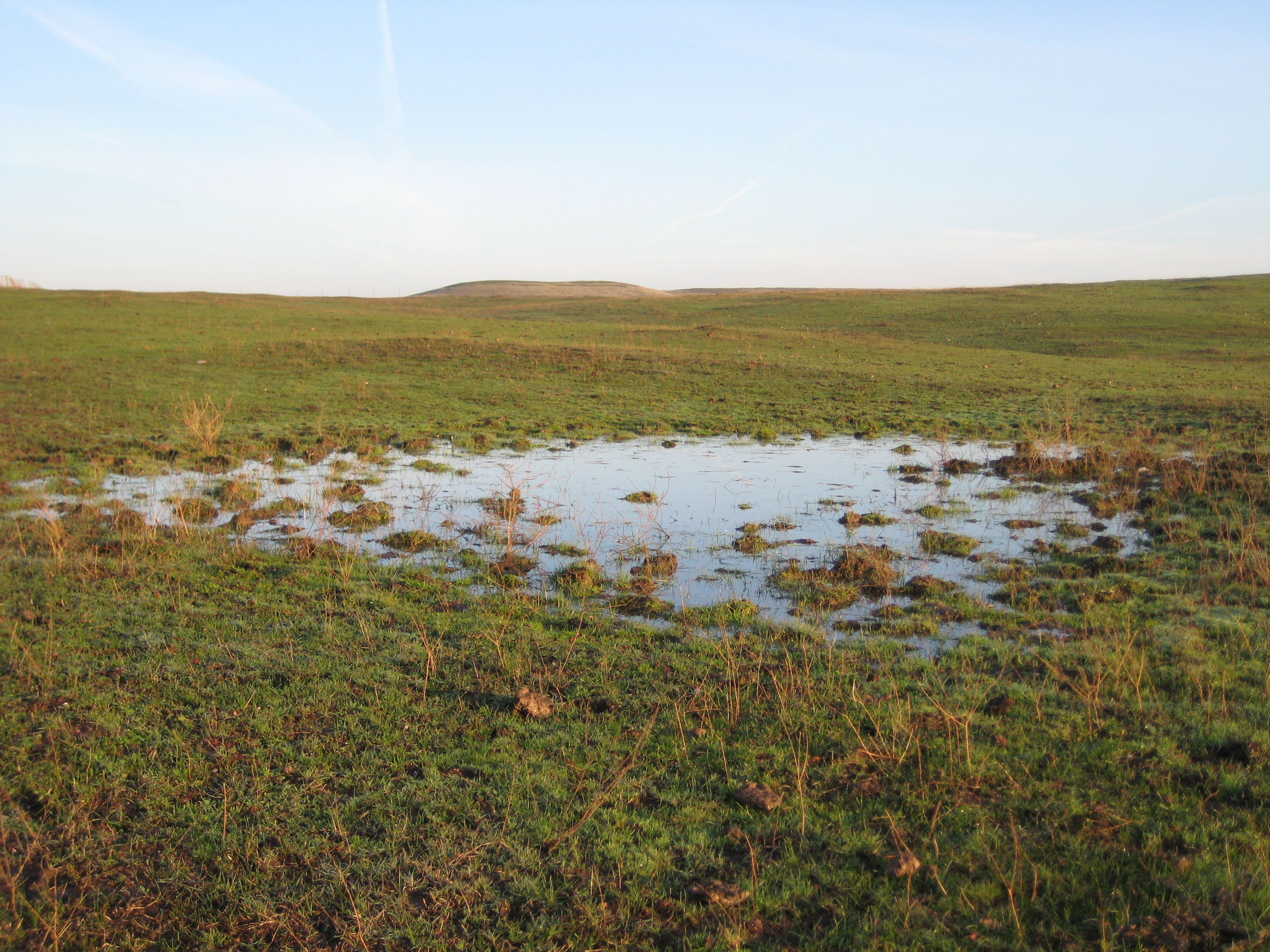
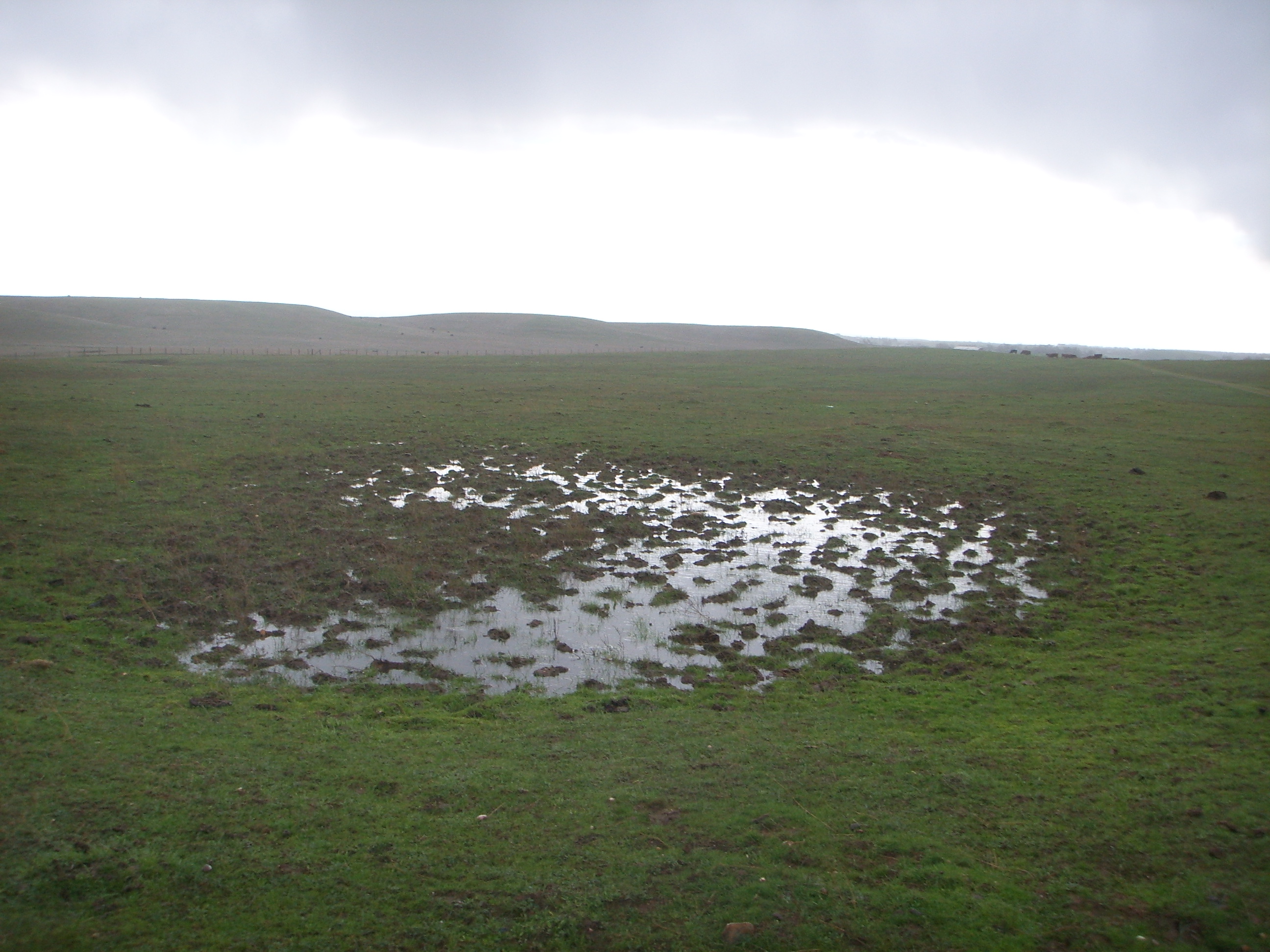
Gallery
175 acres
Location: Sacramento County, California
Mitigation Types
- Wetland/Waters of the U.S.
- Vernal Pool Creation
Service Area
- IN ENTITLEMENT, CALL FOR AVAILABILITY -
The proposed service area includes a portion of the 8-digit Hydrologic Unit Code (HUC) it is located within [Cosumnes River (18040013)], and all or portions of the three adjacent 8-digit HUCs [Lower American River (18020111), Cache Slough-Sacramento River (18020163), and Mokelumne River (18040012)] as shown in the service area map.
Approving Agencies
- U.S. Army Corps of Engineers
- U.S. Environmental Protection Agency
For additional information on the Deer Creek Mitigation Bank, please contact Julie Maddox at (916) 435-3555 or jmaddox@heronpacific.com.