Mitigation Projects
North Delta Fish Conservation Bank
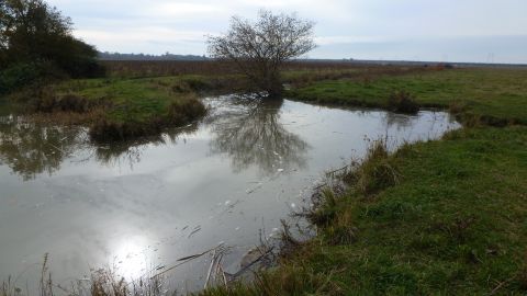
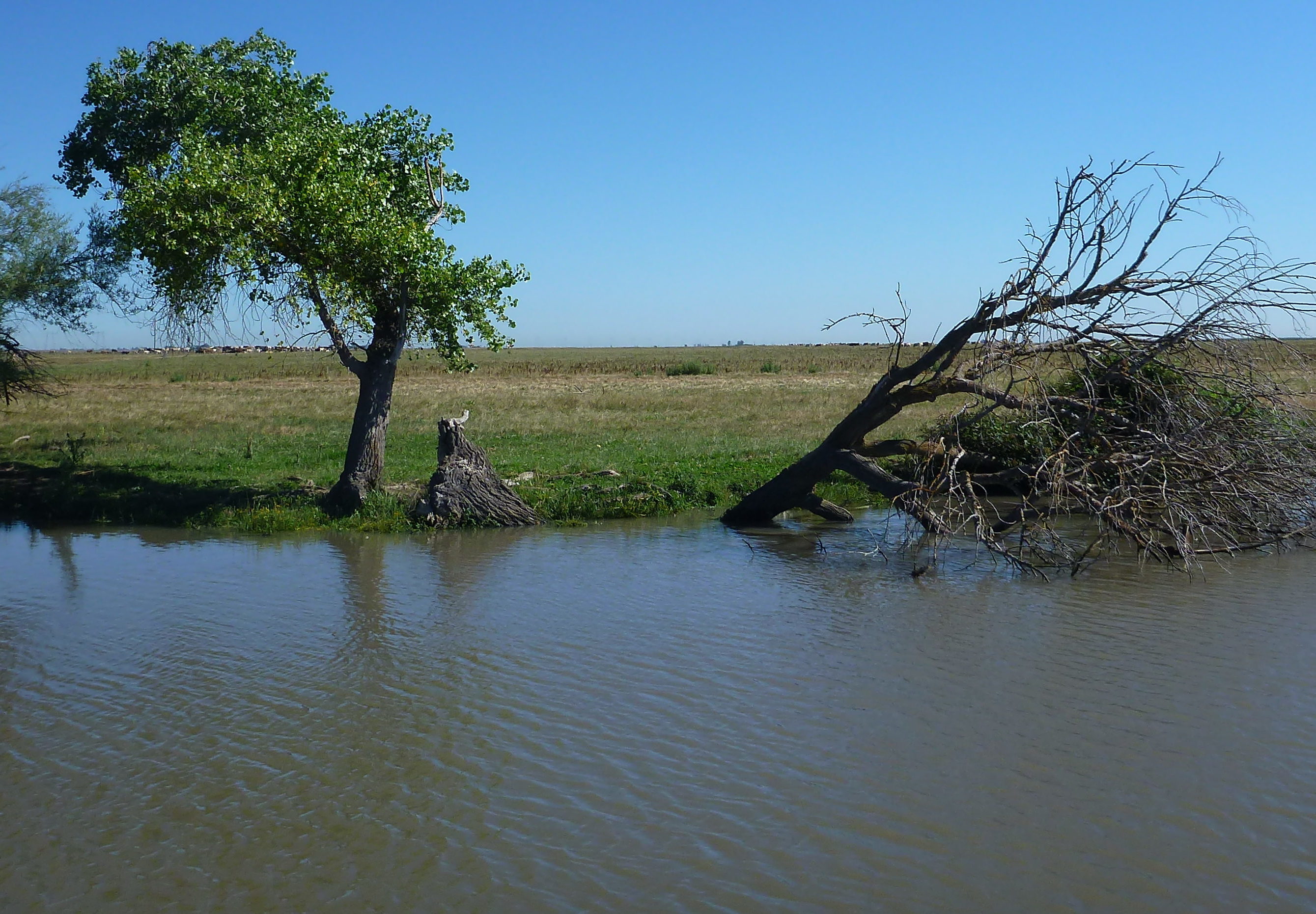
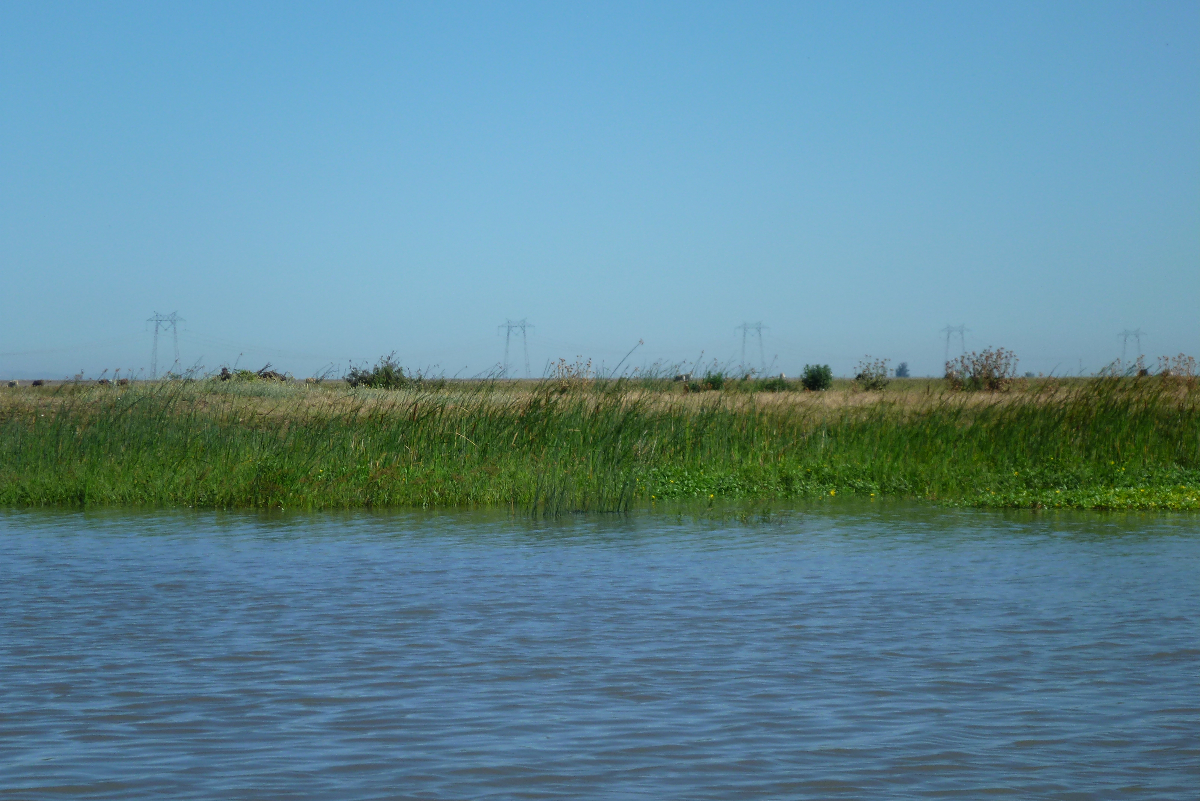
Wildlands worked in partnership with the Trust for Public Land and Reclamation District 2093 to entitle the North Delta Fish Conservation Bank (NDFCB). The NDFCB is an approximate 830-acre site located in the southern Yolo Bypass which is part of the Sacramento Delta, in Yolo County, California. The majority of the site is located on Liberty Island adjacent to the approved and constructed Liberty Island Conservation Bank. A small portion of the NDFCB is located on lands to the north of Liberty Island. Liberty Island is 5,000-acre island located in the southern Yolo Bypass, just west of the Port of Sacramento Deepwater Shipping Channel in the tidal Sacramento-San Joaquin Delta. Historically this site was farmed until the farm levees surrounding the site breached in 1997 and the site was never reclaimed.
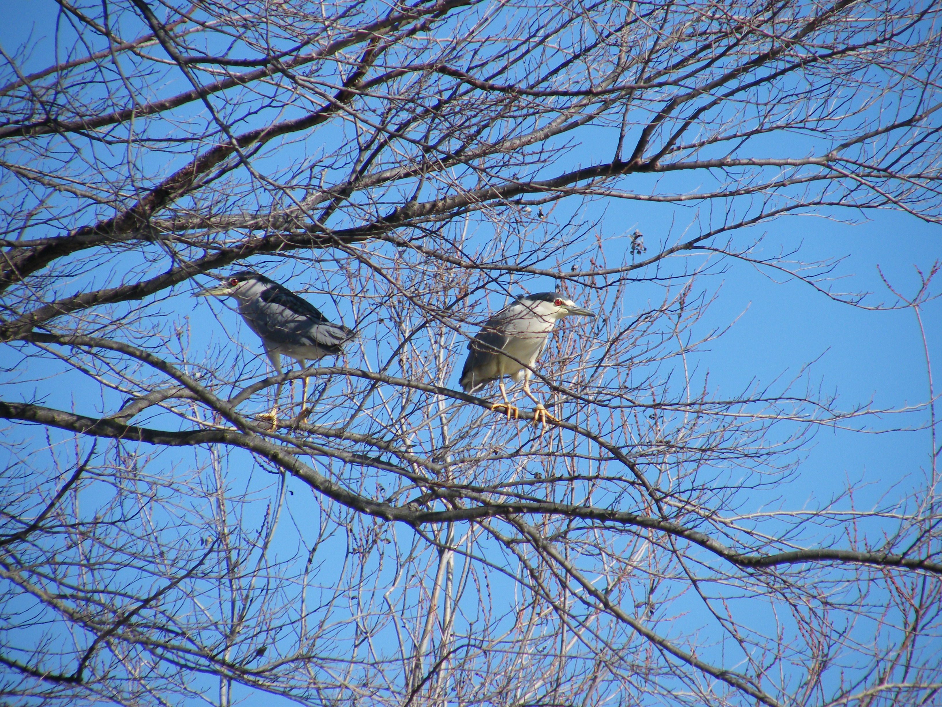
The NDFCB will provide high quality habitat for all native fish species occurring in the Delta including: the federally endangered Sacramento River winter-run Chinook salmon; the federally threatened Central Valley spring-run Chinook salmon, California Central Valley steelhead, delta smelt; Central Valley fall- and late fall-run Chinook salmon, a federal species of concern, and longfin smelt, a California State threatened species.
Designed to enhance and create habitat for Delta native fish, the project also includes removal of two agricultural levees which will enhance tidal circulation within the flooded island. After implementation the project will result in: enhancement of over 630 acres of tidal marsh complex, including emergent marsh, seasonal wetland, riparian scrub shrub, and shallow open water habitats; over 57 acres of tidal channel enhancement; and over 30 acres of tidal emergent marsh creation through the removal of levees and lowering a portion of the existing floodplain habitat.
In order to balance the restoration goals of this project with the flood capacity requirements of the floodway in which the site is located, considerable coordination was involved with a variety of agencies. Agencies included as a signatory to the bank approval include: NMFS, USFWS, and CDFG. Agencies having permitting or other approval authority over the construction of the project include: USACE, NMFS, USFWS, CDFG, Central Valley Flood Protection Board, Yolo County, and Reclamation District 2093. The initial credit release is expected in 2018.
Gallery

811 acres
Location: Yolo County, California
Mitigation Types
- Salmonids
- Delta Smelt
- Longfin Smelt
- Riparian
- Green Sturgeon
Service Area
- The Salmonid and Delta Smelt service area includes the boundaries of the legal Delta. This service area also provides Riparian SRA (shaded riverine aquatic) habitat and Tule Marsh SRA habitat.
- The Longfin Smelt service area includes the entire legal Delta, Honker Bay, Suisun Bay, Grizzly Bay, San Pablo Bay, San Francisco Bay, the Napa River and any other major tributaries deemed appropriate by the California Department of Fish and Wildlife.
-Green Sturgeon - IN ENTITLEMENT, CALL FOR AVAILABILITY -
Approving Agencies
- U.S. Fish & Wildlife Service
- California Department of Fish & Wildlife
- National Marine Fisheries Service
For additional information on the North Delta Fish Conservation Bank, please contact Julie Maddox at (916) 435-3555 or jmaddox@heronpacific.com.