Mitigation Projects
San Luis Rey Mitigation Bank
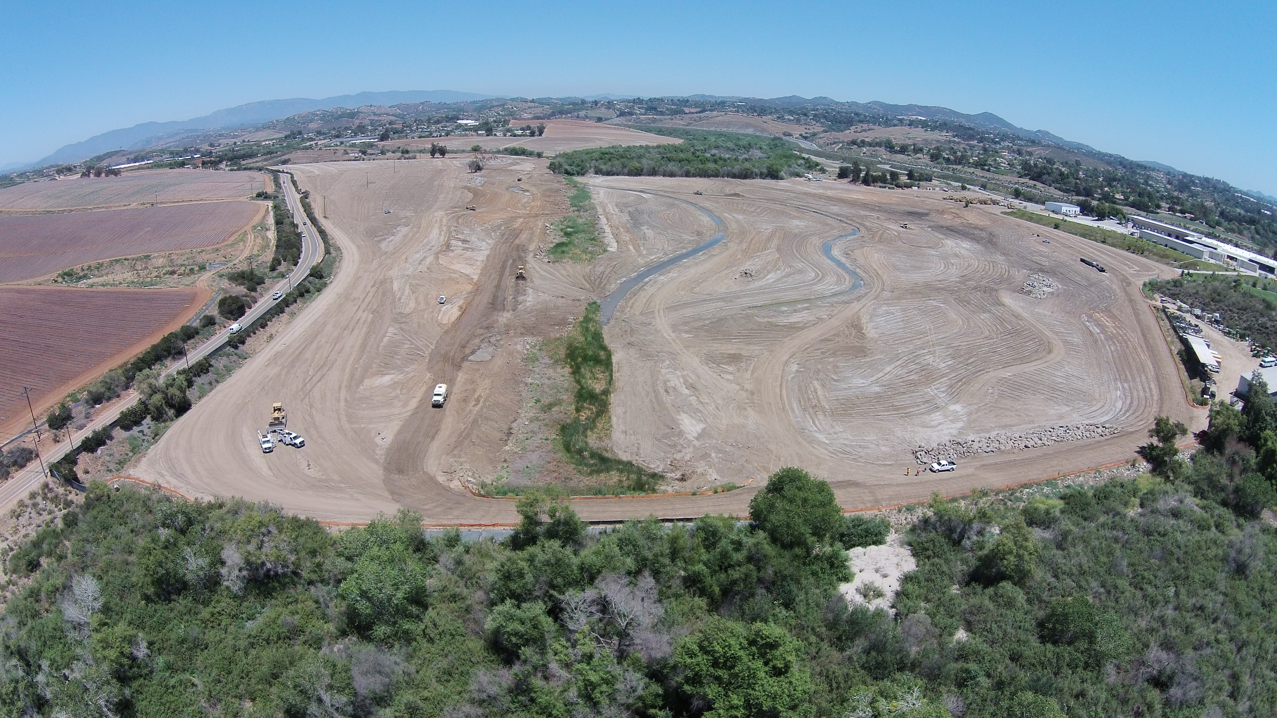
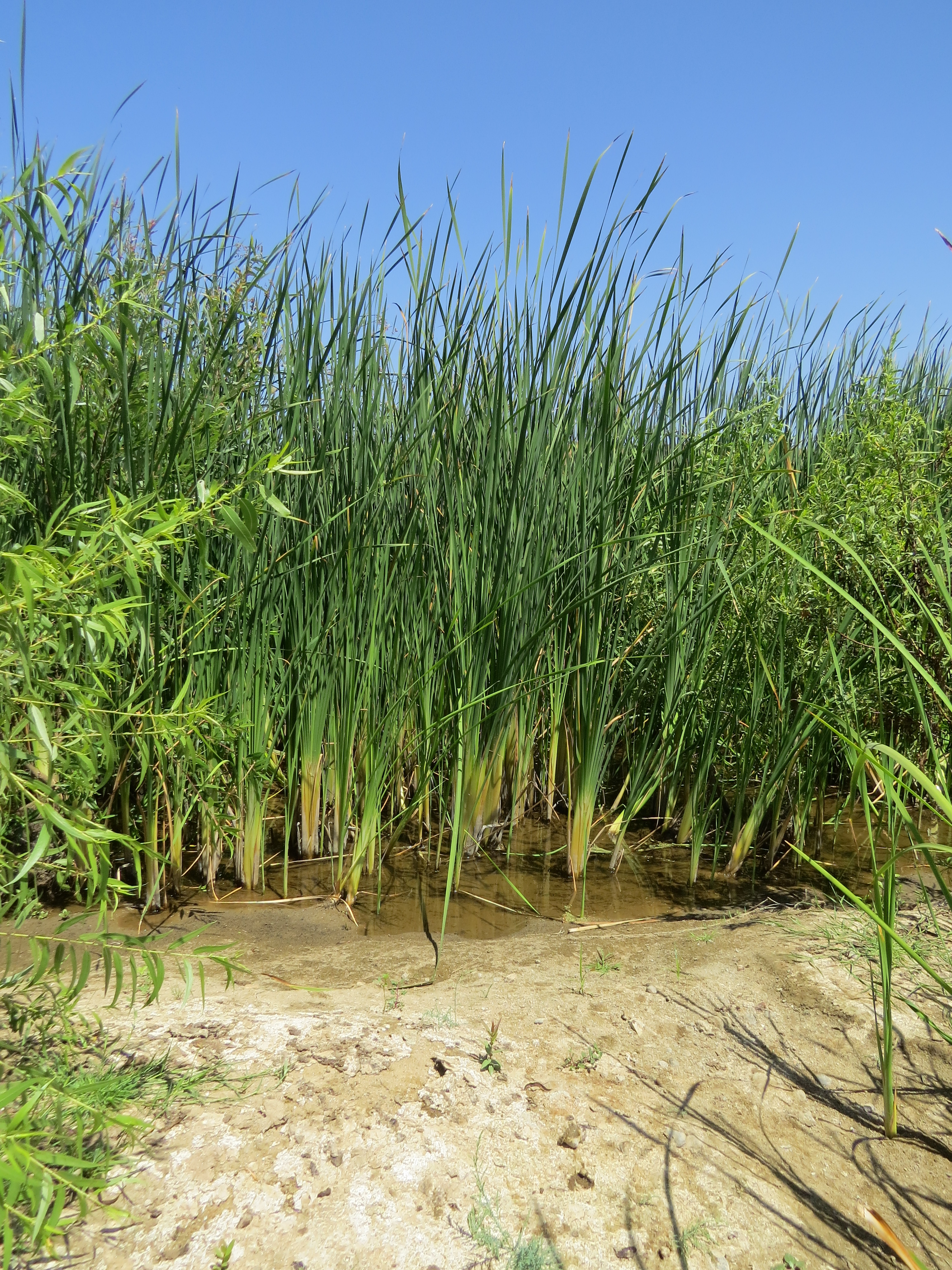
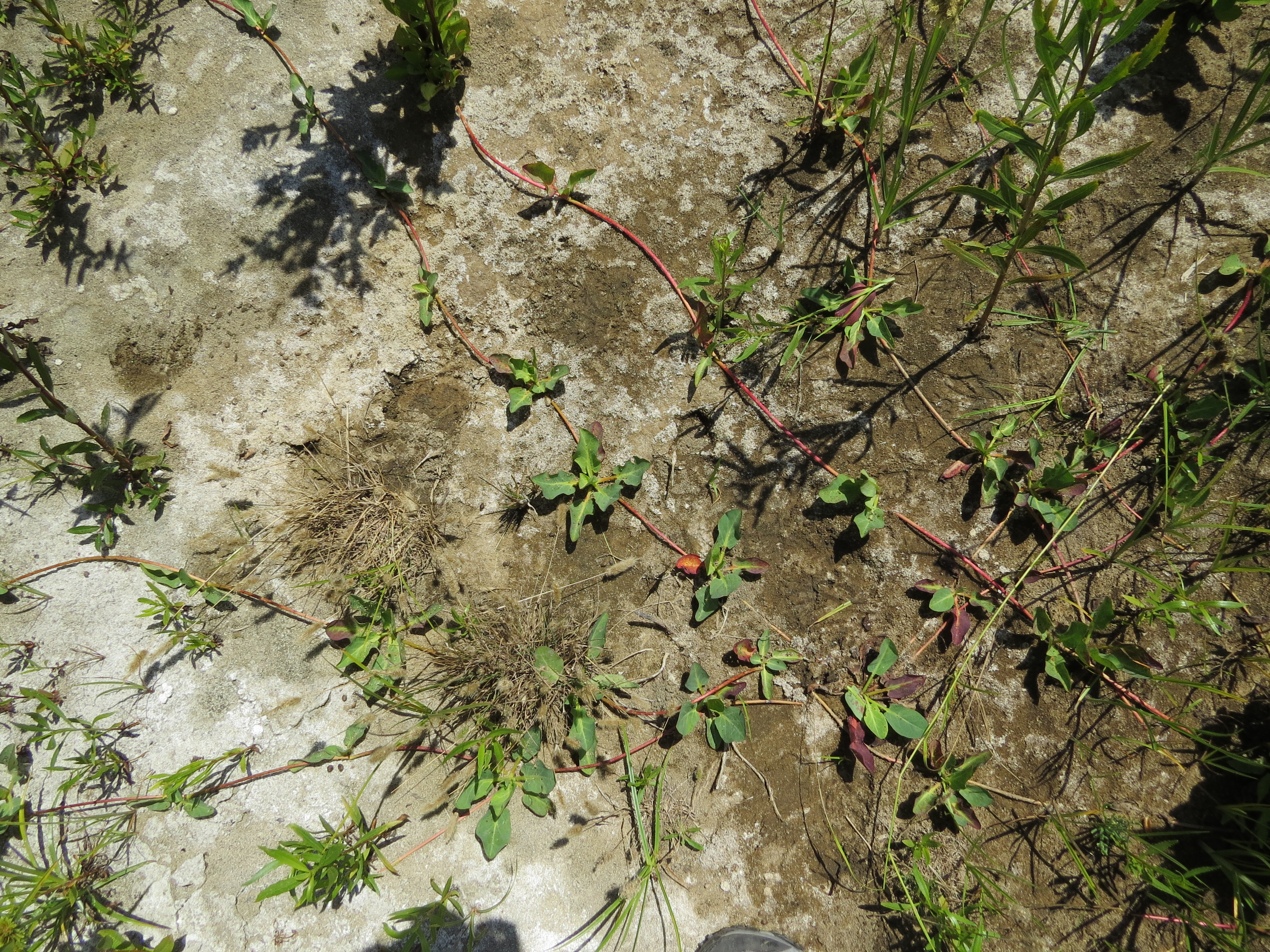
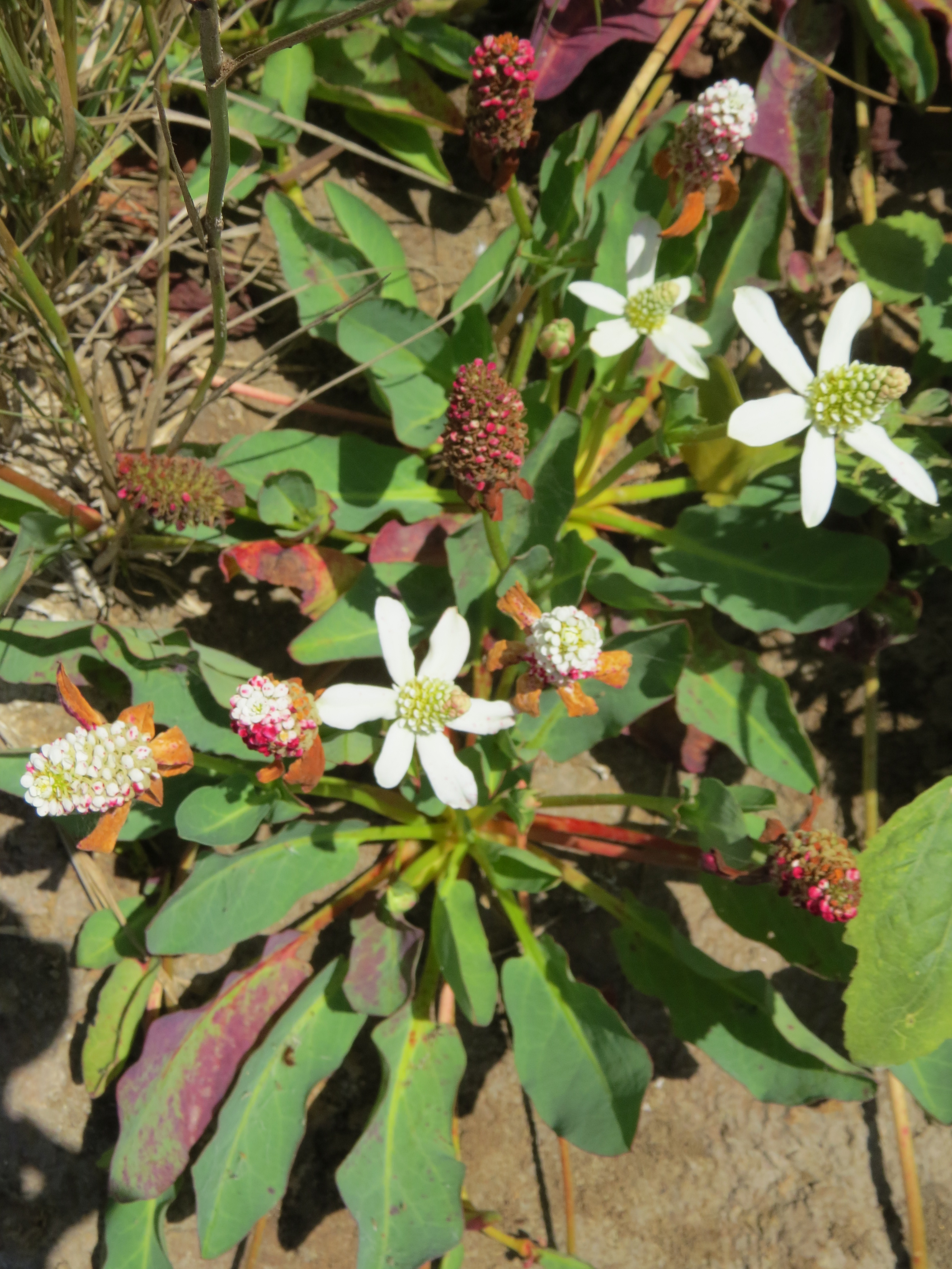
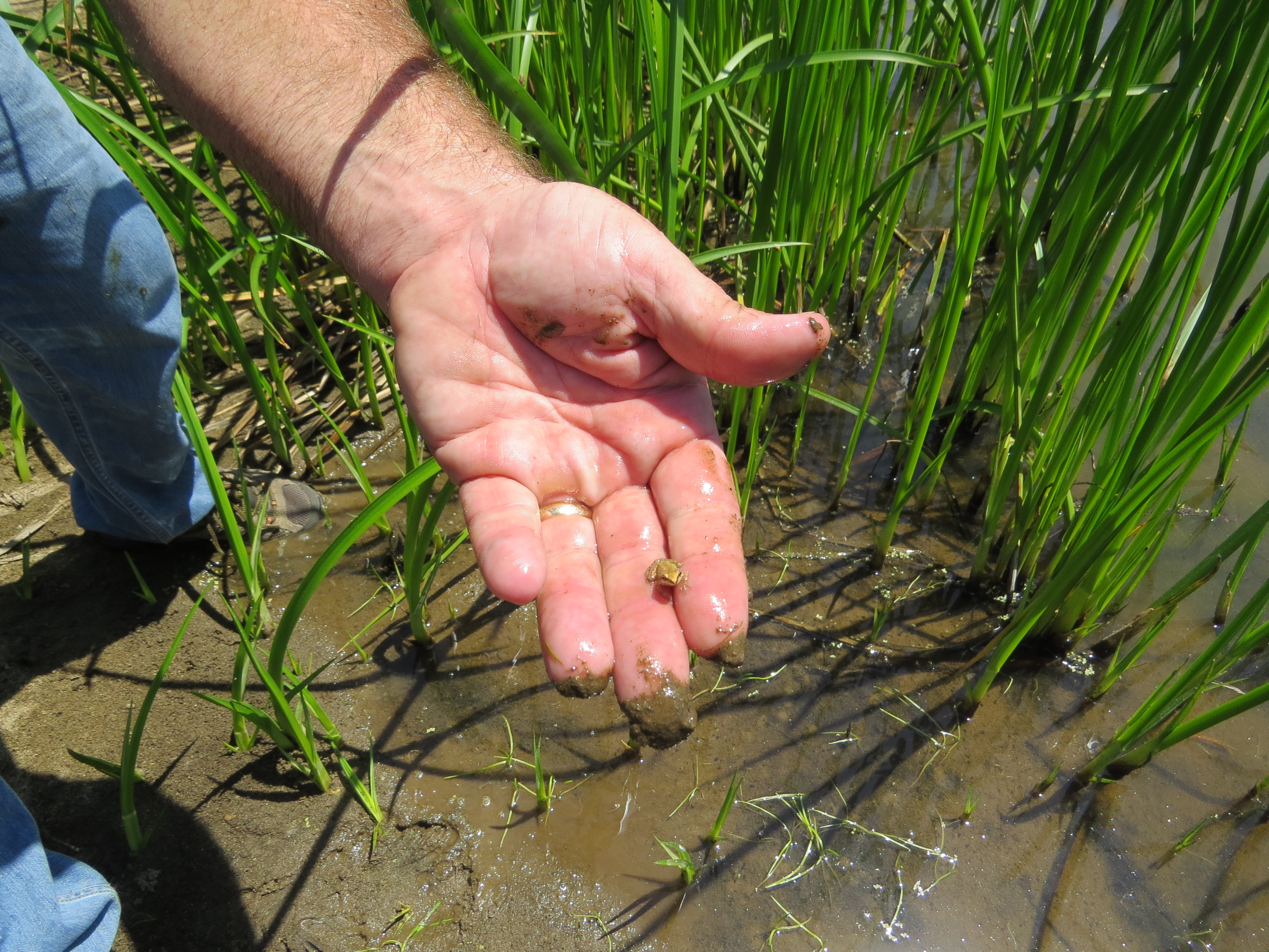
The Bank was designed to rehabilitate and re-establish wetland functions and habitat on an important stretch of the San Luis Rey river. Before restoration, the river and floodplain within the Bank site was highly degraded – channelized, incised, armored banks, dominated by invasive species, and floodplain filled to maximize cropland. The objective is to significantly increase wetland functions and reestablish the historic floodplain of the river to increase riparian vegetation, which will provide important habitat for state and federally listed endangered species including the least Bell’s vireo, southwestern willow flycatcher, and arroyo toad.
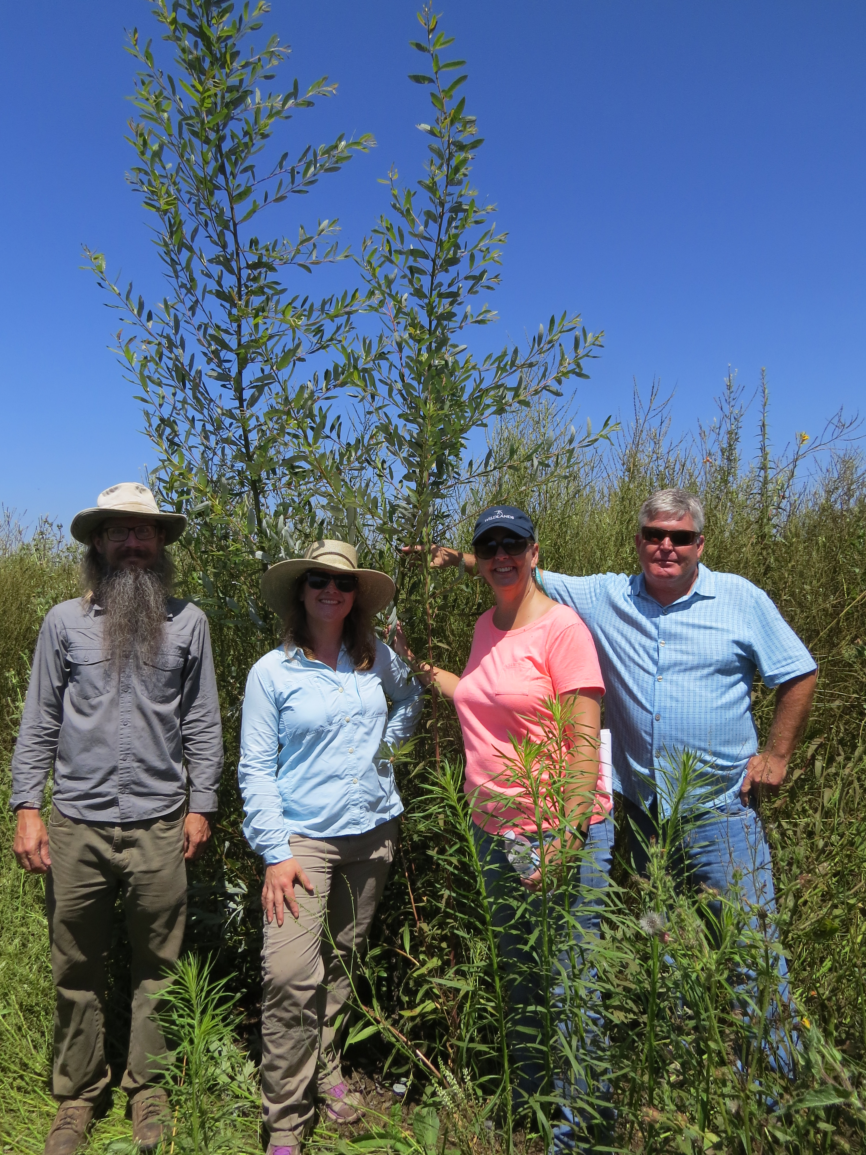
Construction and restoration of the Bank was completed in the fall of 2015, resulting in a mosaic of restored river channel, riparian wetlands, floodplain, and buffer. With earthwork and planting now complete, the Bank is undergoing rigorous maintenance and monitoring to ensure long-term success. Long-term protection of the Bank is ensured with a permanent conservation easement and non-wasting endowment.
Covered Mitigation Types:
- Wetland Waters of the U.S./State (Rehabilitated River)
- Wetland Waters of the U.S./State (Re-established River)
- Waters of the U.S./State (Re-established Floodplain)
- State Jurisdictional/Non-waters (Re-established Floodplain)
- Non-waters (Re-established Grassland Buffer)
Gallery

56.5 acres
Location: San Diego County, California
Mitigation Types
- Wetland/Waters of the U.S.
- Wetland/Waters of the U.S.
- Wetland/Waters of the U.S.
Service Area
- The Waters of the U.S. Primary service area includes portions of three 8-digit HUCs (18070301, 18070302 and 18070303); the Secondary service area includes portions of two 8-digit HUCs (18070302 and 18070304); the Tertiary service area is located to the north, south, and east of the Primary and Secondary service areas, and includes various 10-digit HUCs which contain similar soils, geology, vegetation, land use, physiography, and climate to the 10-digit HUC in which the Bank is located.
- The CDFW Waters of the State service area corresponds with the Waters of the U.S. Primary service area, as shown in the service area map.
- Floodplain & Grassland Buffer credits also available.
Note: The use of credits within the Primary, Secondary and Tertiary Service Areas are at the discretion of the applicable regulatory agency(ies) and may be subject to limitations; please contact us for more information.
Approving Agencies
- U.S. Army Corps of Engineers
- California Department of Fish & Wildlife
For additional information on the San Luis Rey Mitigation Bank, please contact Julie Maddox at (916) 435-3555 or jmaddox@heronpacific.com.